Glacier Fall 2012
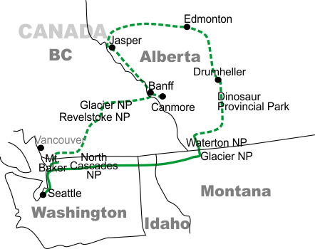
Part 1: North Cascades to Glacier and Waterton National Parks
It had been a couple of months since we returned from our California Annular Eclipse trip ... so the travel bug was beginning to nibble on our toes again...
We still weren't ready to make the planning/logistics effort of another overseas excursion, so we thought we'd visit a few easier places that had been on our minds for years: Glacier National Park in Montana, its Canadian extension Waterton National Park, then onward to Alberta's Dinosaur Provincial Park (where they dig them up) and the Royal Tyrell Museum in Drumheller (where they're placed on display). An available window in other responsibilities meant we'd end up at Glacier across Labor Day weekend.
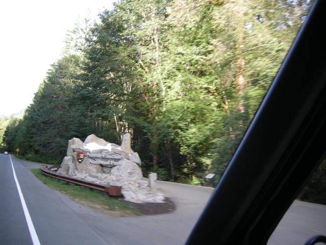
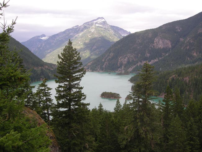
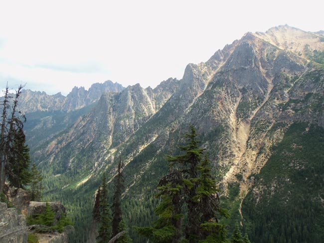
We started off by taking Washington's highway 20, the North Cascades Highway, through North Cascades National Park. The road is closed during the winter, and spectacular when it's open.
Despite the name, a ranger proudly informed us that North Cascades National Park in Washington State has more glaciers than Glacier National Park.
Our first night was in a forest campground near Newhalem
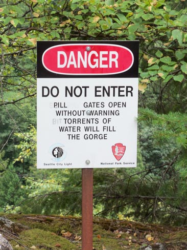
The road follows the Skagit River up into the mountains. The Skagit has a number of dams (Diablo and Ross) providing power to Seattle. The captured lakes become part of the beautiful scenery
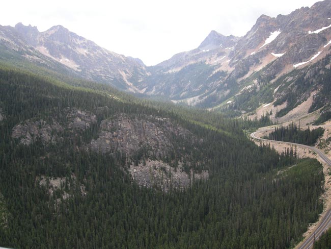
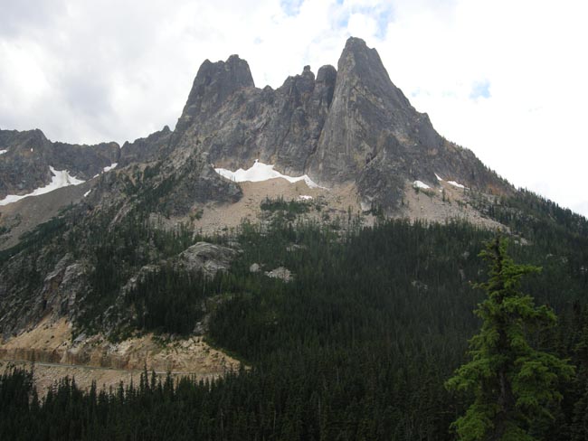
Washington Pass (5477 feet) is the high point of the highway.. but there's a side road up to an overlook. Those are the Early Winters Spires in the distance.
(our Sprinter hit 40,000 miles here in the pass)
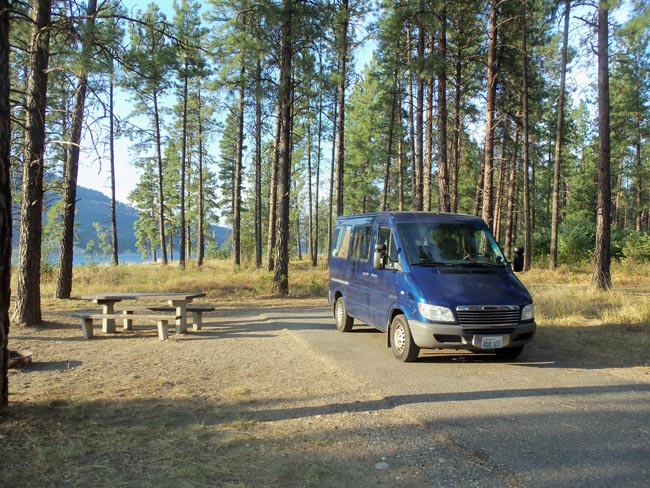
We succeeded, and after a bit of misdirection and confusion caused by the road construction, we camped that night on the shores of the Columbia River.
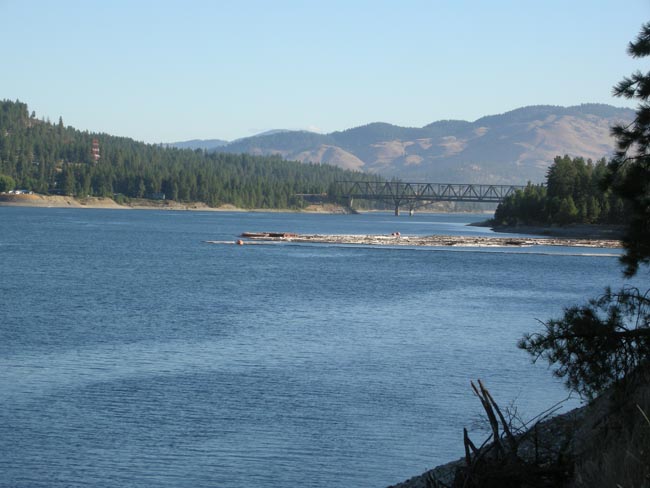
Upriver view from campground, including said Kettle Falls bridge. A raft of logs was moored near a wood processing plant, and the Columbia was dutifully rolling along.
Only when assembling this travelogue did we realize that we hadn't taken any photos after Kettle Falls, in Idaho or in the west edge of Montana. Oh, well... parts were quite pretty. We'd had a pretty tiring day... we discovered that our main credit card had been hacked when it was "declined" when we bought lunch in Idaho. That started an hour or two of telephoning to untangle things and re-target various automatic payments. Then, as the cherry on the sundae, the Sprinter developed "an issue" in Libby Montana that required nursing it along to Kalispell. When it saw the epoxy, baling wire, hose clamps and duct tape we bought to "fix" it, it woke up and ran well for most of the rest of the trip.
Once beyond Kettle Falls, Rt 20 zigged north, then turned south to follow the Pend Oreille River until it met with US Rt 2 and crossed into Idaho. We blinked and were then in Montana. We spent the night in Hungry Horse Montana, and were in Glacier Park 15 minutes later.
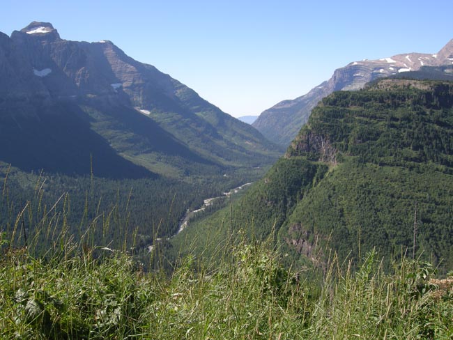
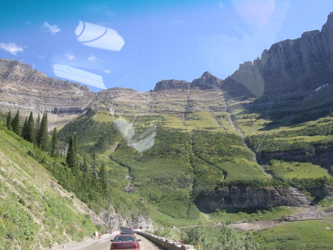
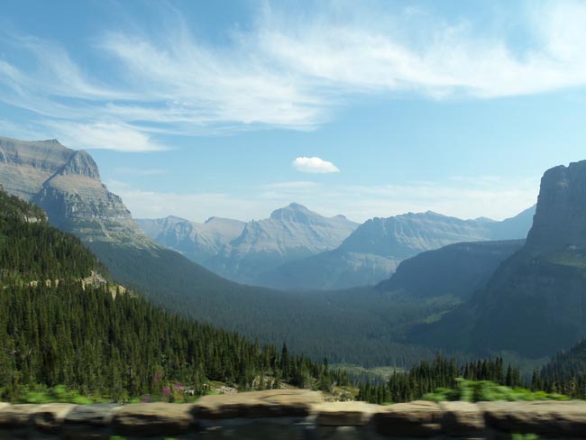
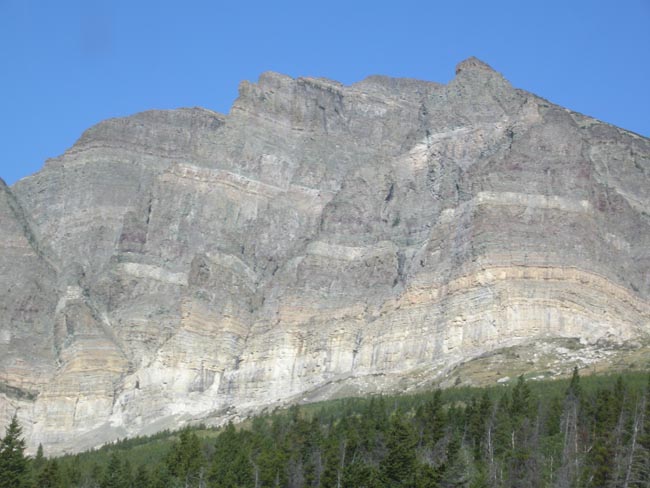
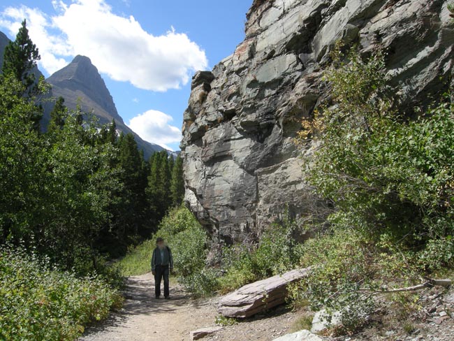
So, suddenly we're in Glacier Park, climbing up the Going-to-the-Sun road, which crosses the park west-to-east. The road follows Lake McDonald, then McDonald Creek (shown here) for about 20 miles.
Then the road turns right to slant up an amazing wall of stone. They're working on restoring the road, which was started in 1917 and completed in 1932. We had a few 20 minute waits at various road construction points along the way.
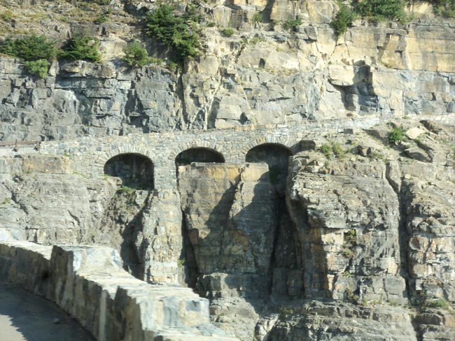
The graceful Triple Arches supports the main road through the park in a tight spot.
(built by a Tacoma Washington firm, using local rock in the late 1920's)
The current workers are in the midst of a 5 year project, if the funding continues, restoring all the stonework that was first built before and during the depression (think about it).
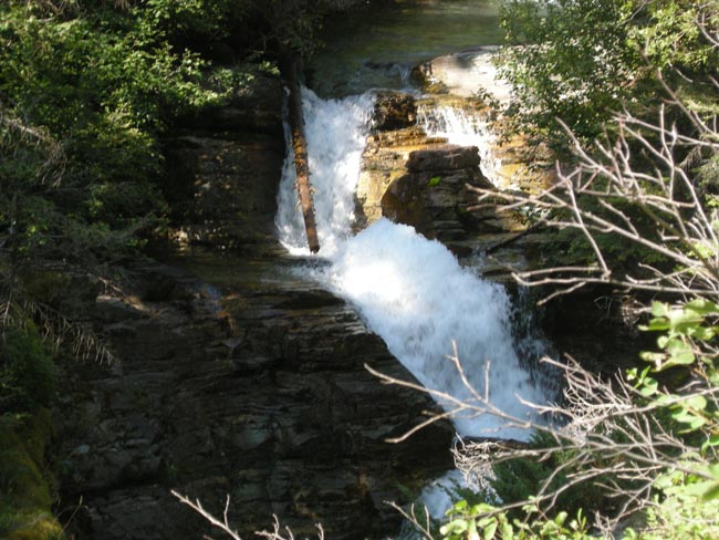
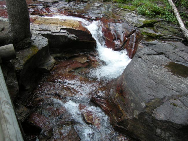
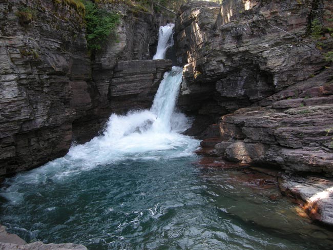
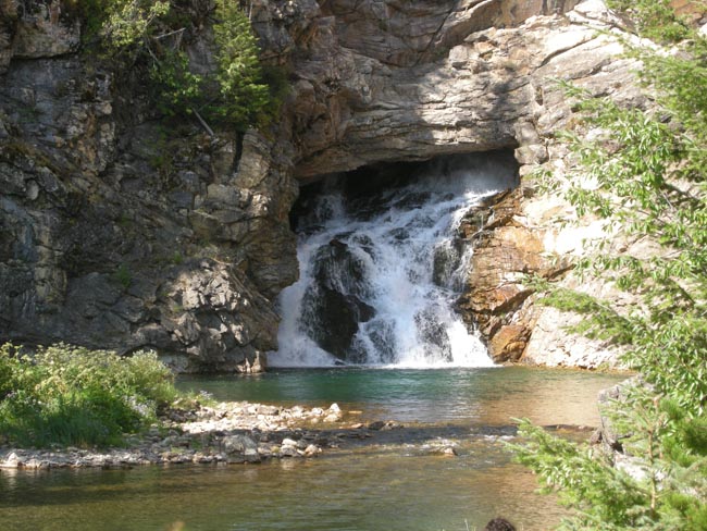
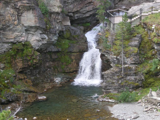
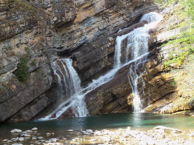
We even had the luck to be stopped in the construction next to this waterfall.
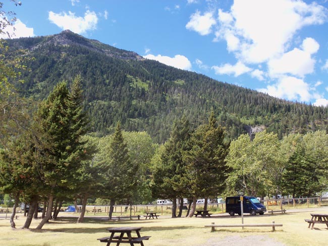
We were kind'a pressing on, since we didn't have any campsite reserved and this was the Thursday prior to Labor Day weekend. Our press was successful: we snagged the next-to-last spot in the Rising Sun campground near the east edge of the park. We booked it for four nights
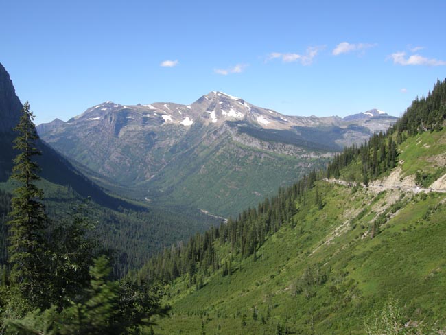
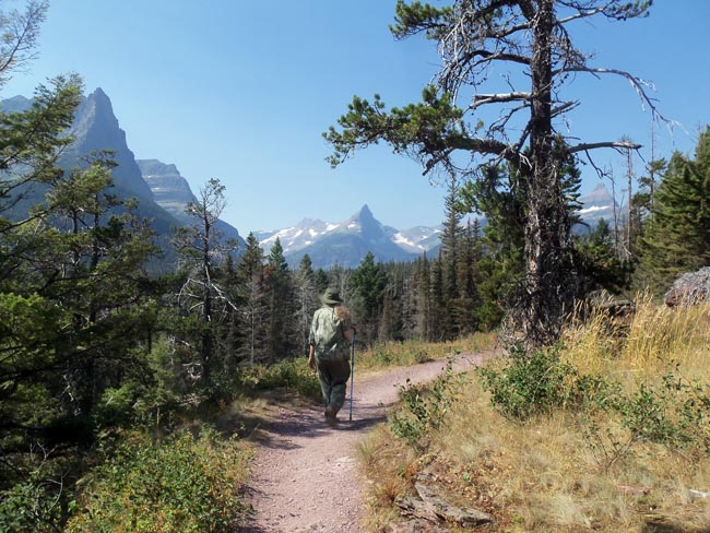
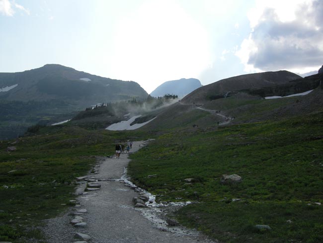
The next day we left the Sprinter in the campground and used the free bus shuttle service to go back westward over the Going-to-Sun road, stopping at various scenic spots to go for hikes.
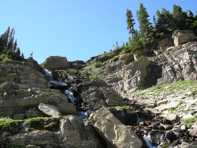
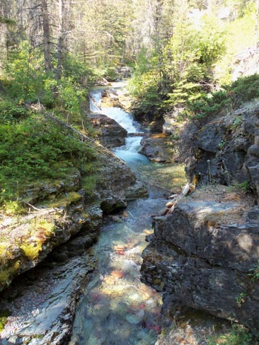
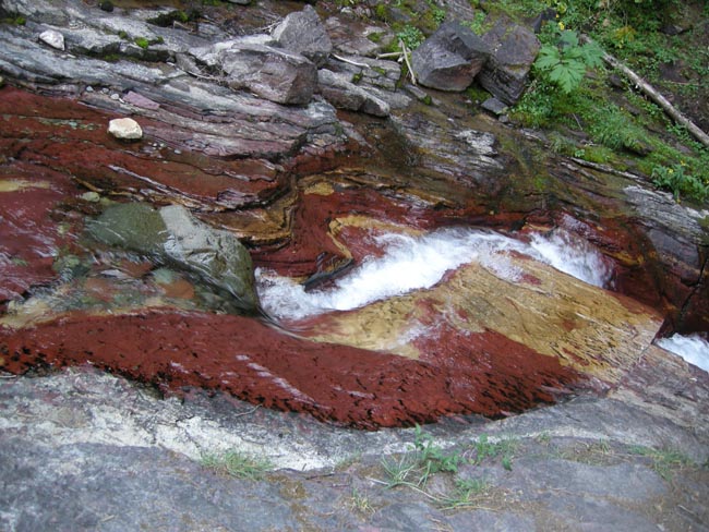
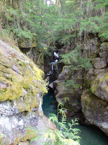
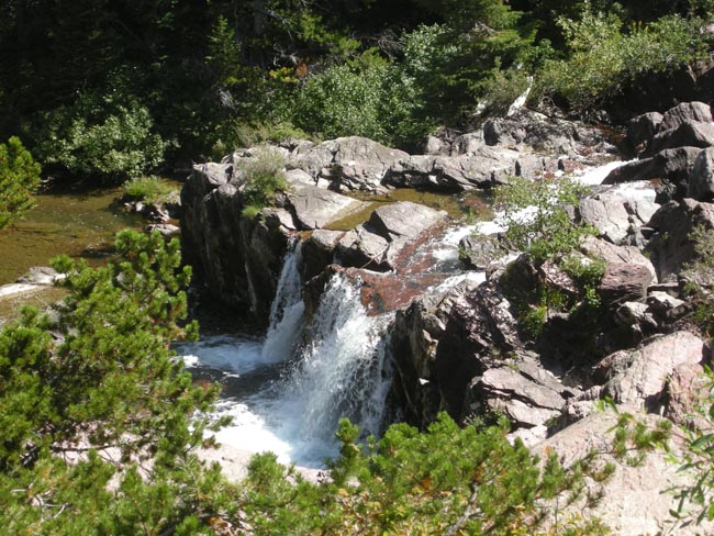
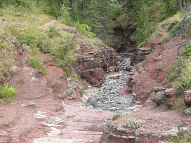
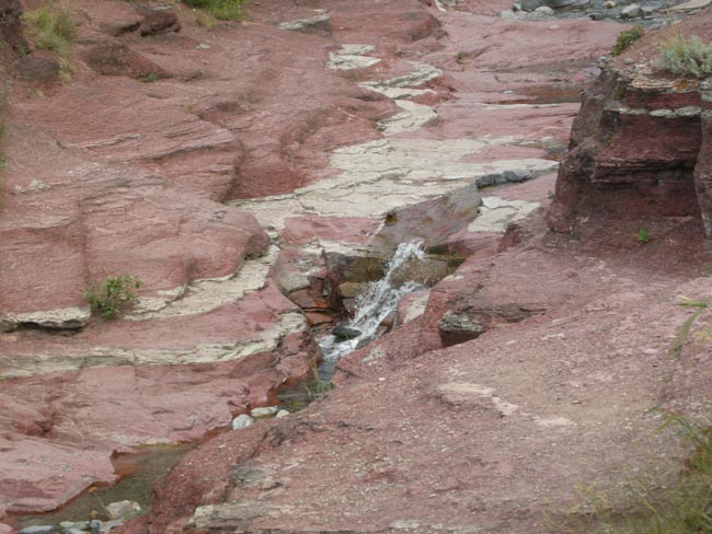
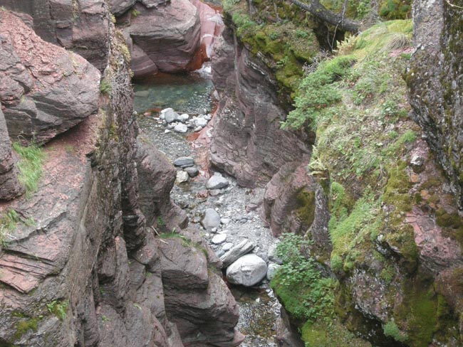
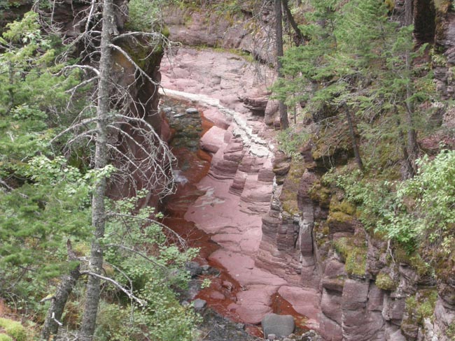
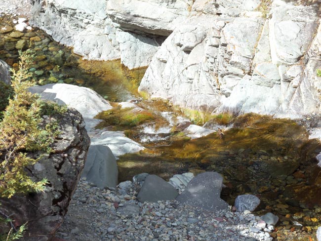
The first stop we took was Sunrift Gorge, a complex of narrow steep-sided cuts into the rock and the roaring stream that was doing the work.
We met the folks at a later waterfall and there we heard the tale.
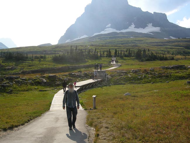
However, once on the bus we could both watch the scenery as we rode to the top of Logan Pass. There we changed buses from the east-side's full-length bus to the shorter, more nimble (and far more frequent) Sprinter shuttles.
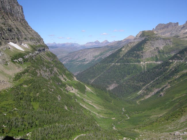
Thence down the west side to the Avalanche Creek area.
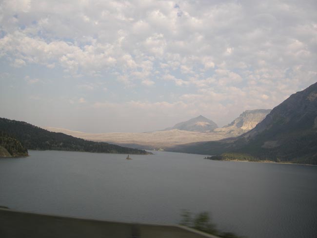
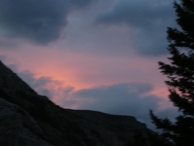
Note the haze in the distance... smoke from a forest fire at Avalanche Lake on the west side of the pass.
Our camp here on the east side of the park was much drier than what we had been bussing through.
The next day we boarded our own faithful Sprinter to explore other areas of the park. The morning light showed that the fire was still contributing a light haze.
After a tour of the Park's visitor center and then a tour of the coffee and grocery options in the town of St Mary, we headed south to the Two Medicine area of the park.
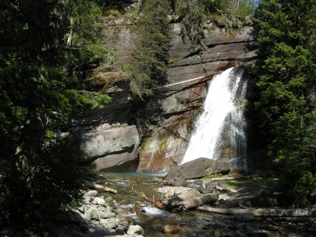
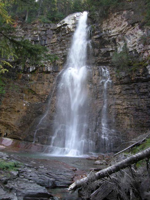
Running Eagle Falls pours out of a cave at the end of an easy trail.
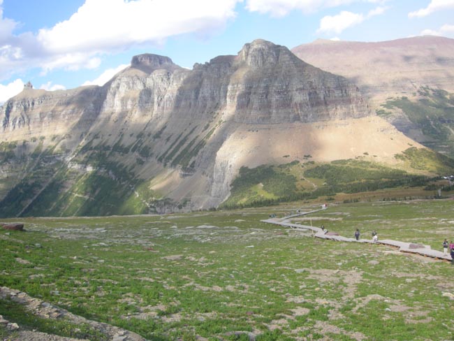
The boards eventually end as you climb higher. We watched the smoke pall and the wind sand-blast the people ahead. We decided that we wouldn't continue up and over the ridge.
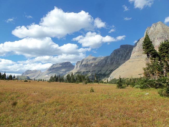
The next morning started with a pause at a roadside sign a bit east of our campsite.
Water falling on Glacier National Park can end up in the Pacific, the Gulf of Mexico or in Hudson's Bay.
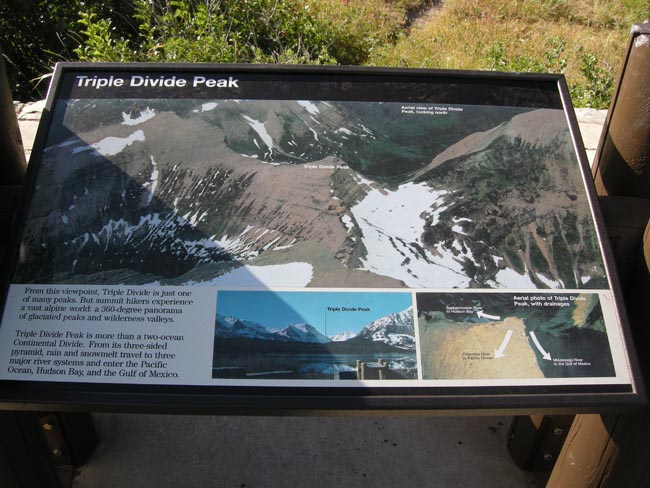
So sayeth the sign, so vieweth the view:
Triple divide peak is just peaking around the shoulder of the mountains on the left.
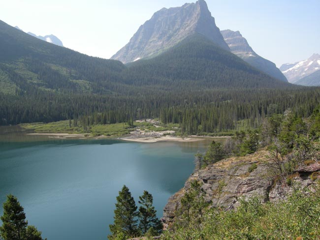
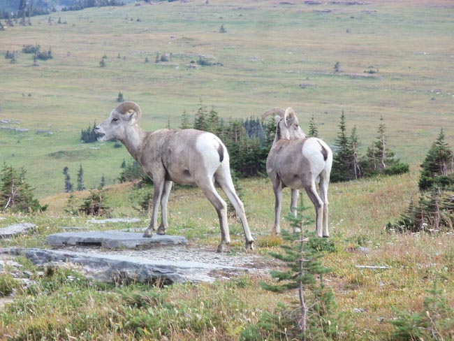
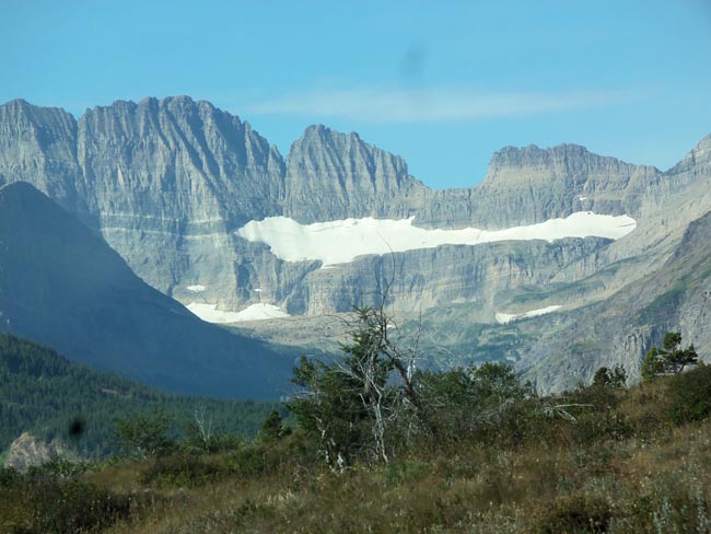
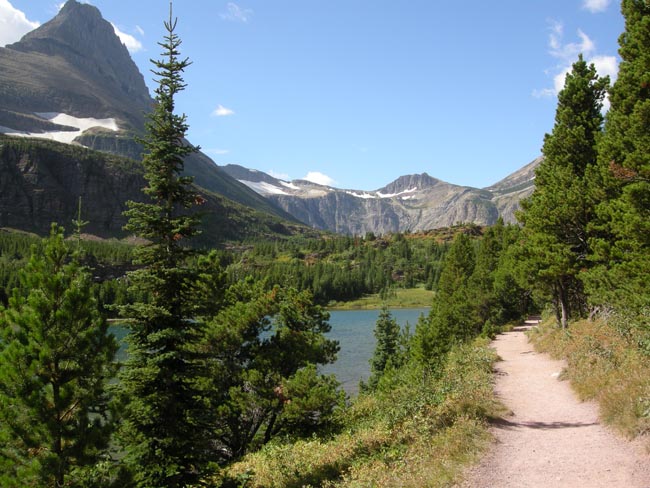
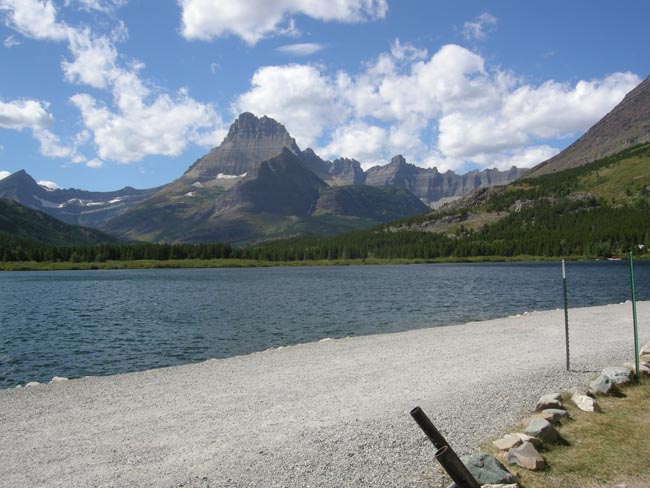
From there we went to visit a more northern section of the park: Many Glacier.
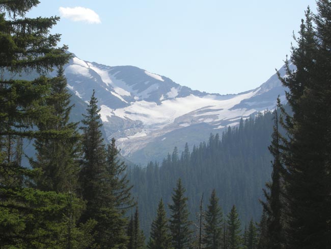
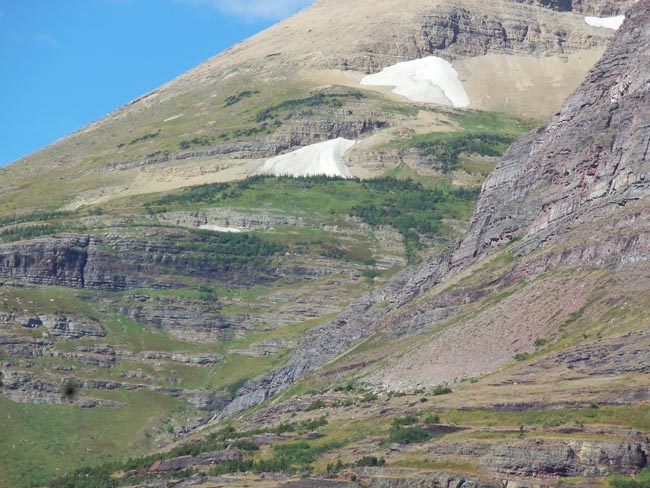
The Glaciers aren't what they have been. Old photos showed this as much snowier.
In 1850, there had been about 150 glaciers in the park. Now there are 25. If the current warming trend continues, they're predicting that they'll all be gone soon after 2020.
.
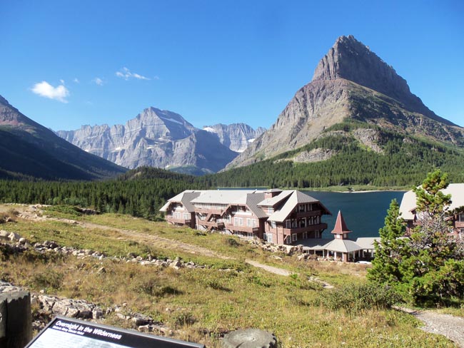
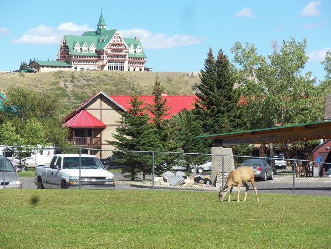
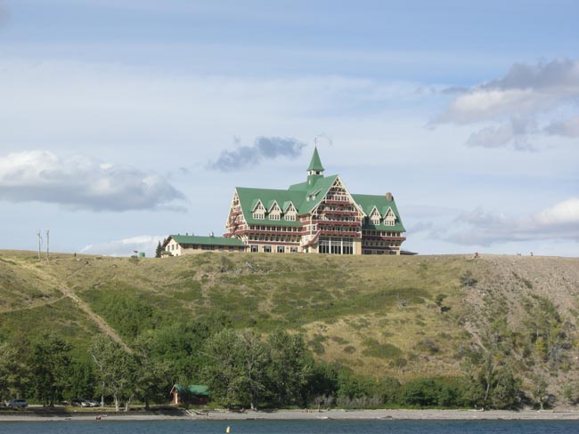
Well, yes, this castle, or rather lodge, in the forground is made of wood not stone.
Swiftcurrent Lodge at Swiftcurrent Lake, Mt Grinnell beyond it, Mt Gould in the distance.
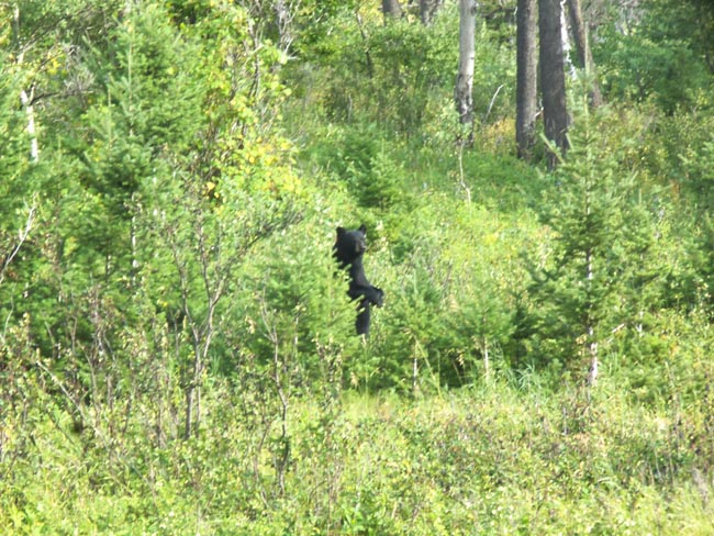
The next morning we started up a trail leading out of town, and quickly met a pair of hikers coming back down. "Bear! There!" ... and, indeed there was one munching its way down through the bushes. We watched for a few minutes until it reached the alley which defined the edge of town. So we started up the trail again, and again encountered a bear within 100 yards, this time just above us in the bushes.
OK, OK... we can take a hint... it was too beary in the berries for our comfort. Time for Plan B.
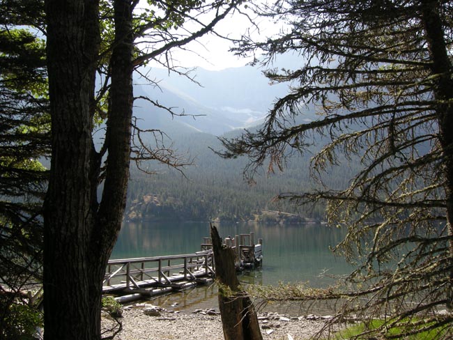
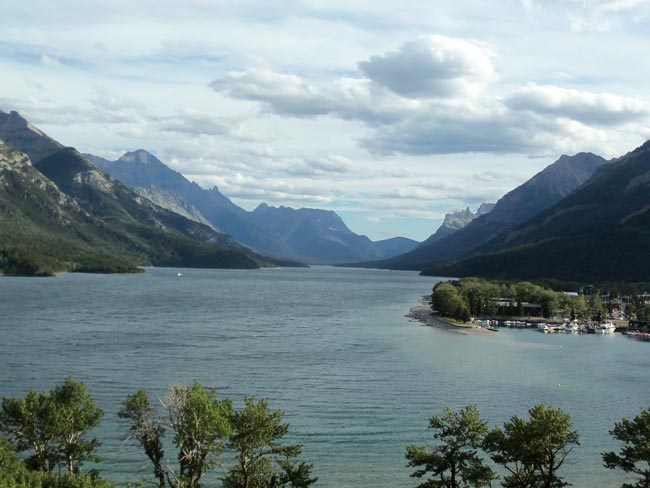
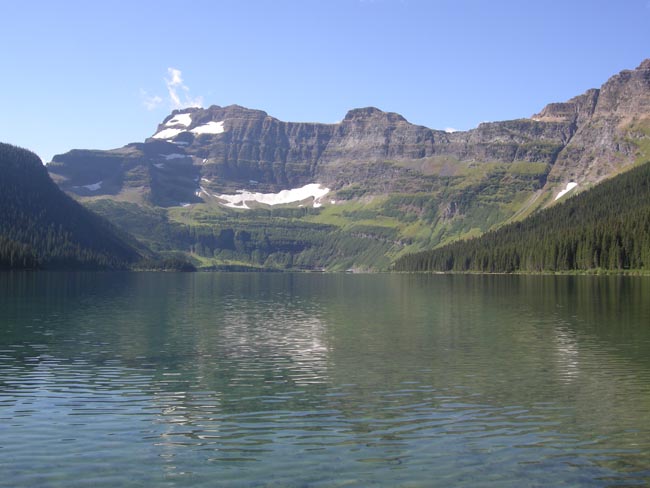
We drove out along the Park's Akamina Parkway to Cameron Lake. A very Lake Louise-like vista greeted us.
And then we came back to town for lunch and to see the other tourists feeding.
After lunch we left Waterton Park, and headed northeast towards south-central Alberta.