Eclipse May 2012
Part 2
Yosemite
After the eclipse we stretched ourselves a bit to reach a campground we had previously visited on our "Volcano" trip: Burney Falls in MacArthur-Burney Memorial State Park. It's a great campground located about 35 miles north of Lassen Volcanic National Park
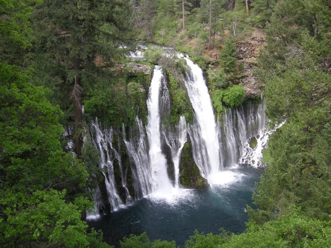
That's a 130-foot drop with fascinating incursions of water that took underground passages to reach the cliff face.
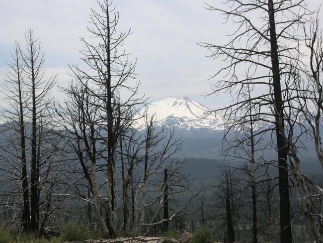
We turned south towards Yosemite. Mt Lassen began to dominate the view out the windshield and from a new burn viewing rest stop high above the road between Hat Creek and Old Station, California. The road across Mt Lassen was still buried in snow, so we took a lower-altitude side road just east of it. We eventually caught up with CA-89 and snaked our way southeast through dozens of tiny towns embedded in the forests.
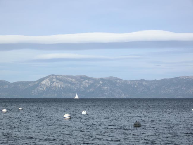
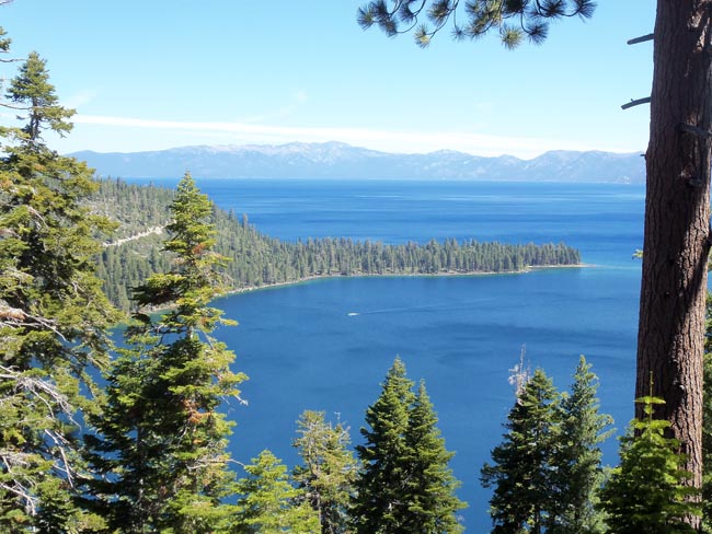
We eventually found, and began to semi-circumnavigate the west shore of, Lake Tahoe. We camped part way down the west shore of Lake Tahoe at the William Kent National Forest campground, which straddles the road in Sunnyside, 3 miles south of Tahoe City. We shared the entire 80-site campground with only one other party, despite the fact that almost all of the nearby California State Park campgrounds were not yet open for the season.
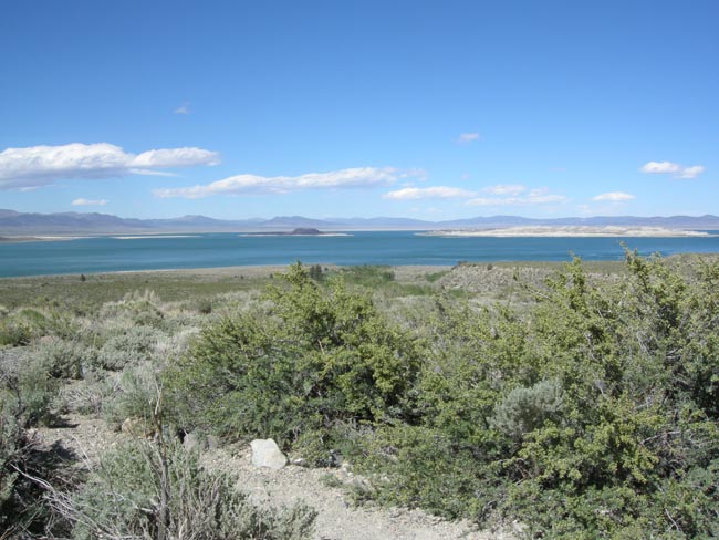
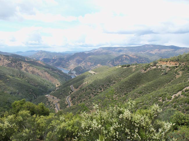
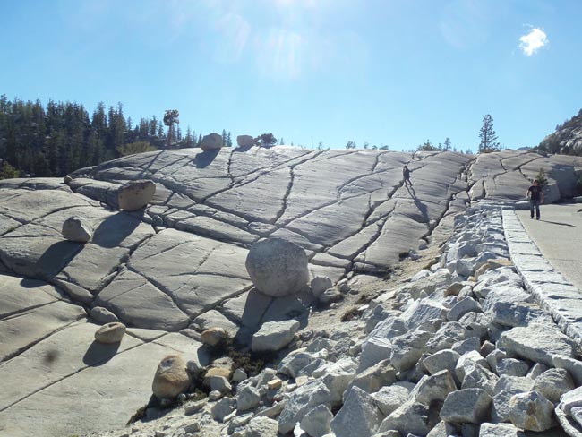
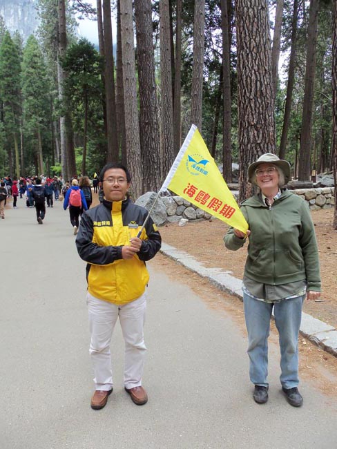
So we left Mono Lake and whipped the Sprinter up and over the highest pass of the trip: 9945 foot Tioga Pass which forms the eastern boundary of Yosemite Park. This year had seen this road open a month earlier than expected, which was lucky for us. Stunning vistas greeted us at every turn. (note to driver: stay on road)
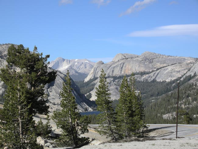
Trees were twisted and stunted by their exposure to altitude, cold and winds. Lack of loose soil didn't help.
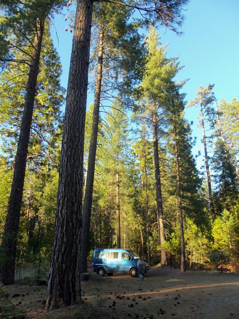
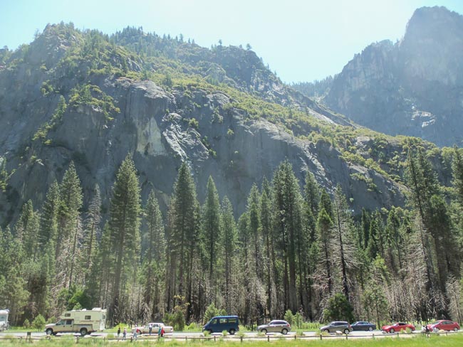
We reached the western side of the park, and found that the National Forest campgrounds we'd hoped to use were all full. There was going to be a Folk Music Festival nearby, and the area was packed (beyond the normal draw of Yosemite).
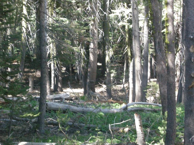
So we availed ourselves of the National Forest policy of "distributed camping": Unless signed otherwise, you're allowed to camp anywhere along a forest road, provided that you're off the road, and doing it in a spot where someone had done it before (evidence of old campfire, etc).
So once more we found ourselves in an extremely spectacular, extremely private, campground...
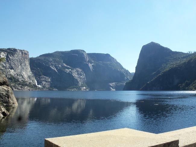
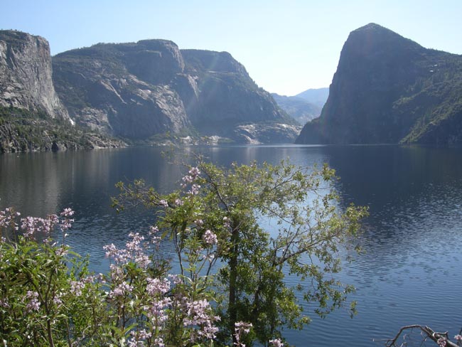
The next morning we started our three-day Memorial Day Weekend visit to Yosemite by continuing up the side road that our "campsite" branched from. It wove up and up along the path of the Tuolumne River to the Hetch Hetchy Valley, now filled as a reservoir serving distant San Francisco.
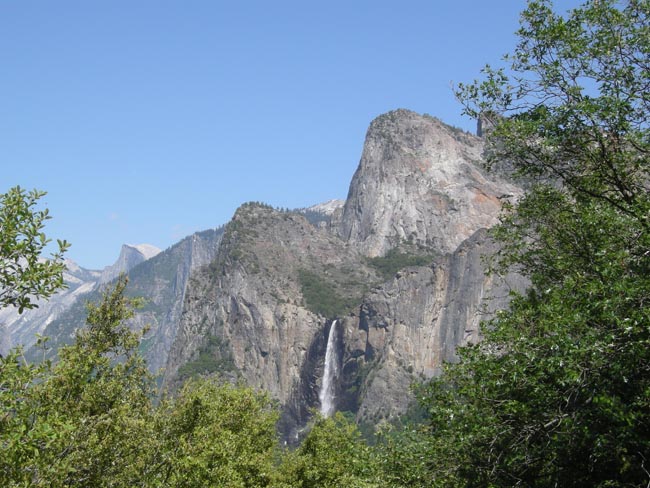
The lower section of Wapama Falls can be seen as the white "L" shape at the foot of the cliff on the left. Tueeulala Falls should have been cascading down the full height of that cliff face, but its ephemeral presence requires cooperative snow and weather conditions.
(and clouds of mist to walk through)
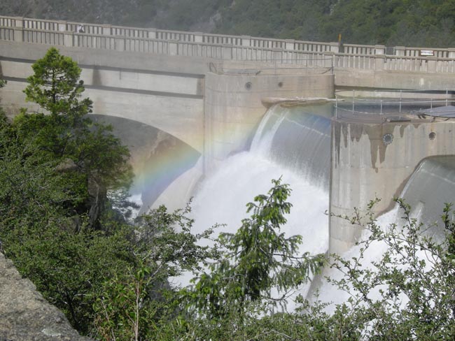
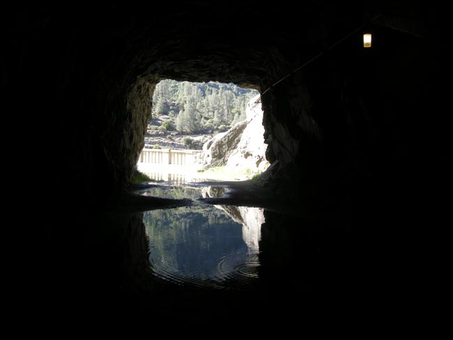
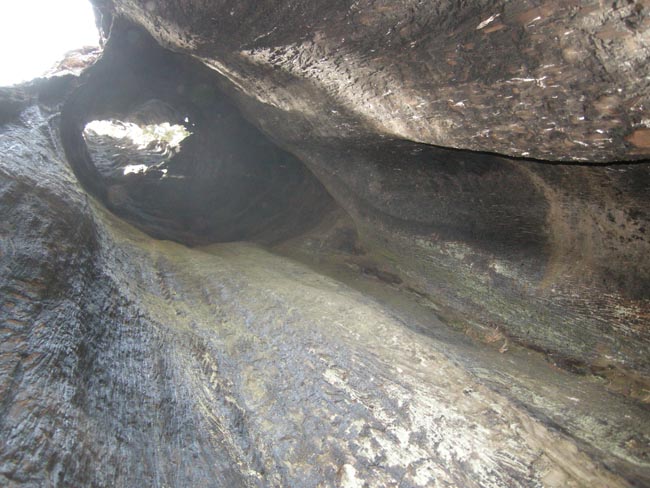
A tunnel on the other side of the dam provides access to an around-the-reservoir path that leads to 840-foot Tueeulala Falls and 1,700-foot (via multiple stages) Wapama Falls.
Here's what our sun-dazzled eyes saw of the tunnel.
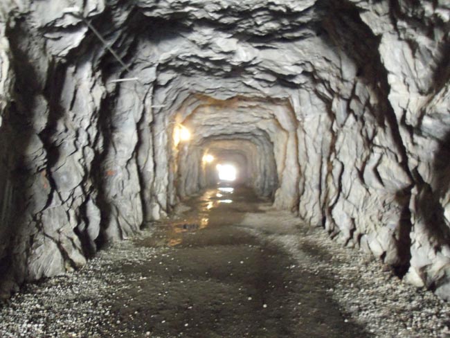
or this one?
(no, he didn't have his hat for donations... we checked)
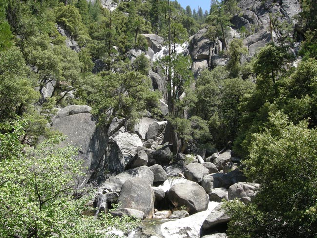
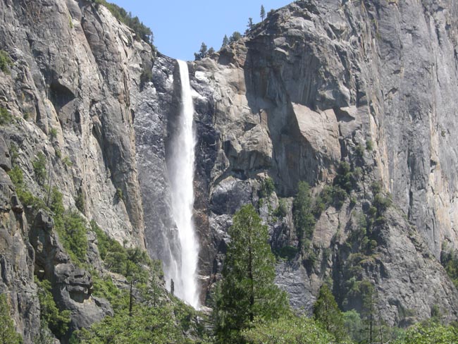
see the water falls?
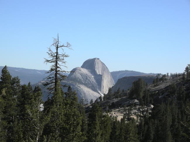
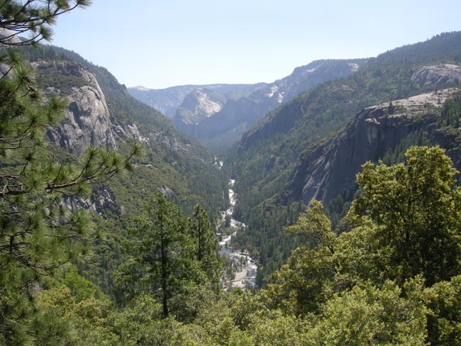
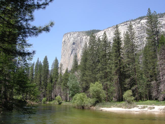
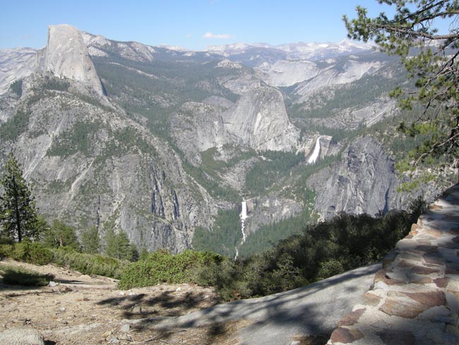
That's the Merced River before it calms down on the floor of the valley. These are Nevada Fall above Vernal Fall, with Half Dome studiously ignoring us.
(from Washburn Point, on the way to Glacier Point)
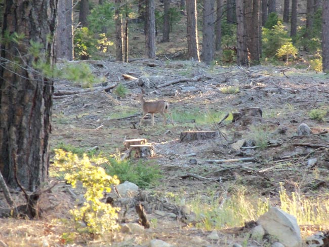
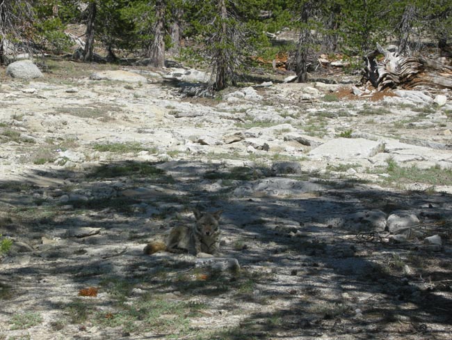
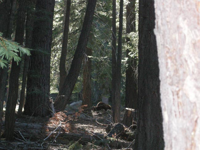
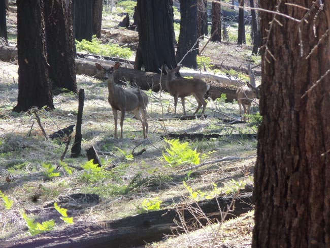
and the bears?
Mother and cubs between Washburn and Glacier point
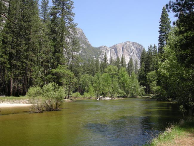
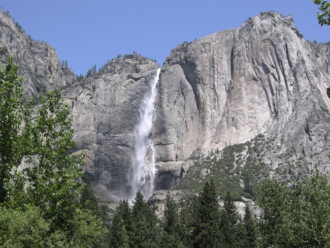
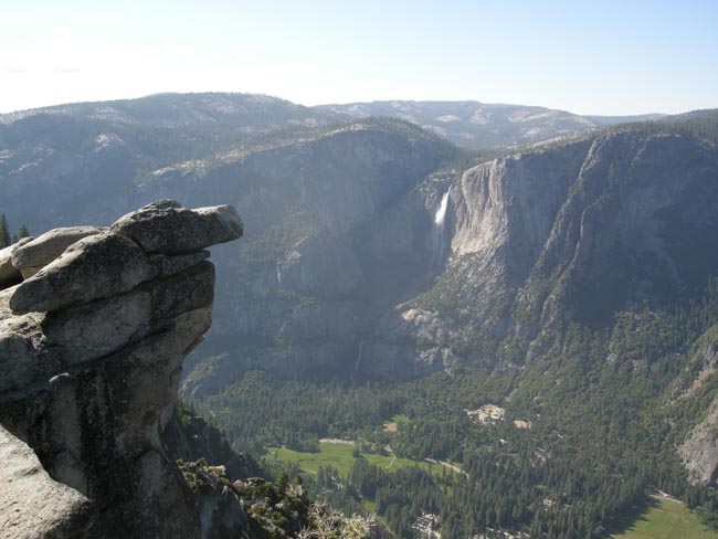
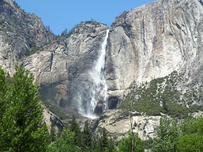
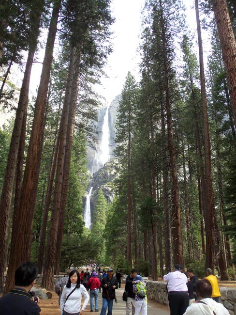
From Glacier Point we could look down into the Yosemite valley complex and locate our campground... and that Yosemitie Falls was still falling...
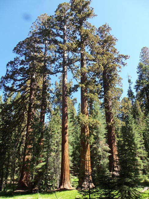
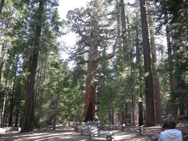
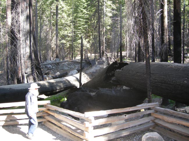
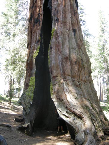
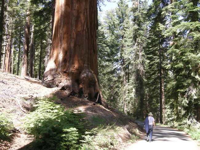
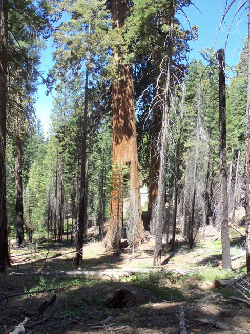
Squeezing ourselves into Yosemite on fairly limited notice forced us to spend the first night south of the park in the Summervale Campground. That placed us near the entrance to the Mariposa Grove of giant sequoias at the southwest corner of Yosemite. They're well worth the visit and the walk. Take water.
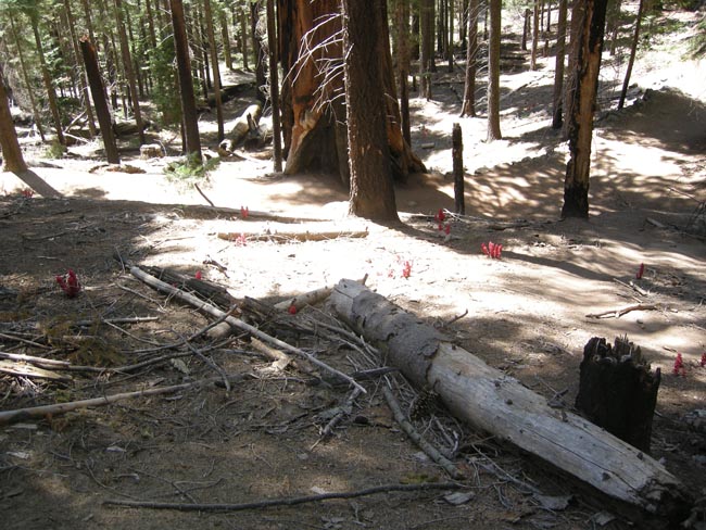
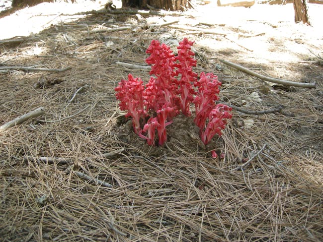
They added dashes of whimsey with their colorful and strange looking flowers
Sarcodes Sanguinea (snow flowers) are parasites on buried fungi, which themselves are symbyotes on the roots of the sequoia. These flowers steal sugars from that relationship
(footnote: you'd be surprised and amused at how much effort went into getting the above caption correct as we built this webpage)
(on the path to the base of the falls)
The next day dawned cold, cloudy, with developing snow in the Valley... so we escaped.
We weren't in any hurry, so we decided to take a road less-travelled: California 49. It was a scenic delight (if you don't mind switch-backing up and down innumerable shoulders, ridges and valleys, which we don't). We rolled west out of the mountains, but definitely remained in the foothills.